Garmin International, Inc. announced that Navionics, a Garmin brand, is releasing a new, streamlined catalog of Navionics+ and premium Platinum+ charts to refresh its lineup of marine cartography products. For easy transition between navigating inland and coastal waters, Navionics+ and Platinum+ charts now feature all-new aligned coverage regions as an all-in-one mapping solution that combines detail-rich inland and offshore content, ...
Read More »Tag Archives: Chartplotters
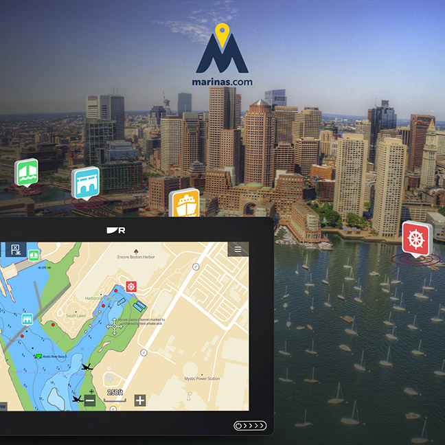
Raymarine partners with Marinas.com to better charts
Raymarine announced that its LightHouse Charts Premium service includes points-of-interest data provided by Marinas.com – the single best source of marina and waterway information for boaters on the web. The collaboration, which pulls data from more than 75,000 marine locations, enables boaters to easily find and explore key inlets, marinas, waterfront communities, lighthouses, and other nautical destinations. LightHouse Charts offer ...
Read More »Navico inks Coast Guard deal through 2025
Navico, parent company to the Lowrance, Simrad, B&G and C-MAP brands announced today it has signed a five-year agreement with the United States Coast Guard (USCG) to provide C-MAP cartography under the USCG’s Small Boat Product Line (SBPL). Navico said it was selected for a competitive award by the USCG for products that met all of their technical needs. Navico’s C-MAP will deliver cartography ...
Read More »C-Map releases new North Carolina HD Chart
C-MAP announced the release of a new chart card in its series of digital fishing map card; Precision Contour HD – North Carolina. Precision HD cards feature highly detailed one-foot contours, high-resolution satellite imagery and C-MAP’s one-of-a-kind Custom Color Depth Shading, as well as fishing and navigational Points of Interest. The card is exclusive to chartplotters in the Navico portfolio ...
Read More »
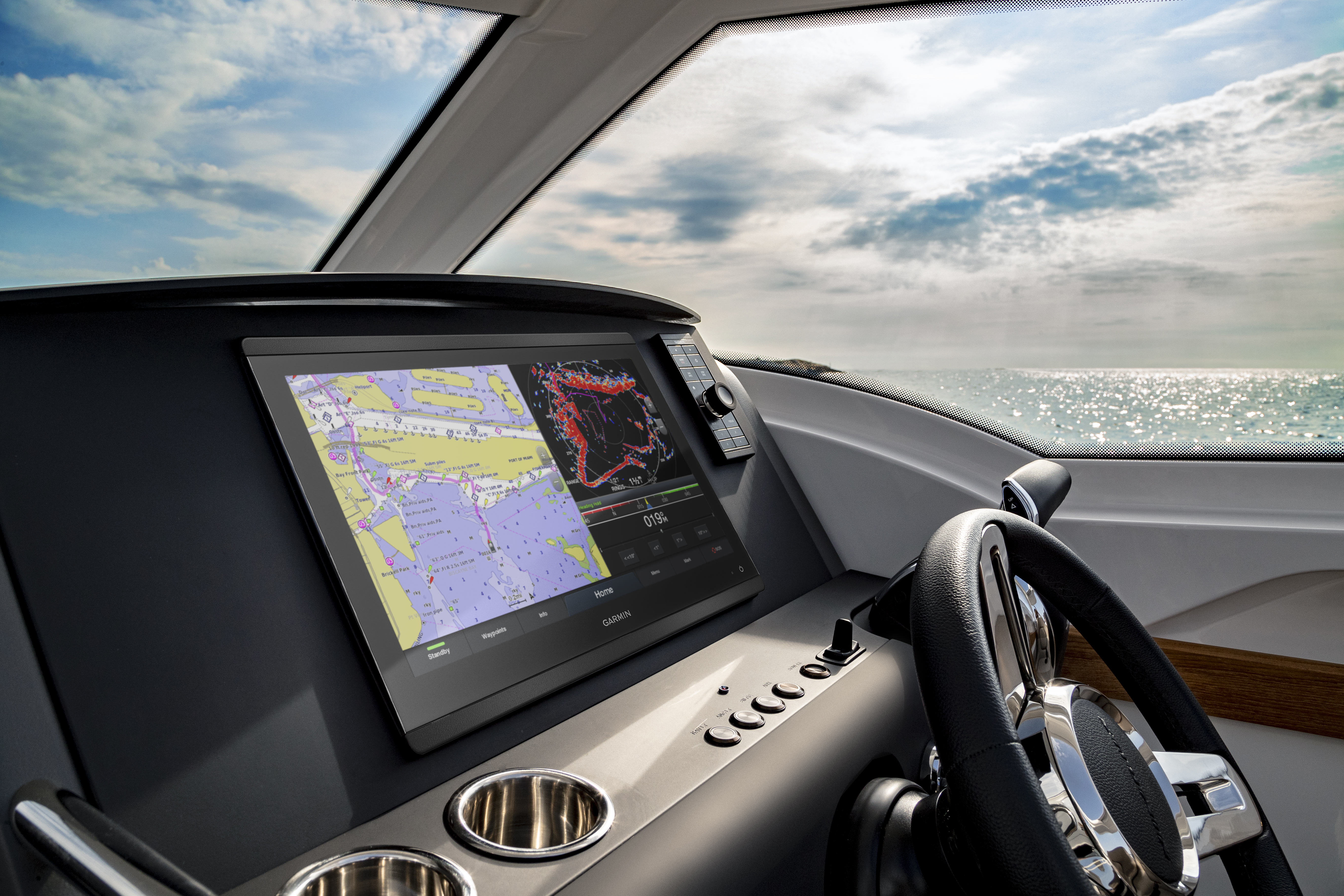
Garmin introduces slate of marine products, accessories, services
Garmin International, Inc. recently announced BlueChart g3 and LakeVü g3, a new line of cartography products for coastal and inland boating that blend the best of both Garmin and Navionics content together for the first time to deliver unparalleled coverage and detail. The new BlueChart g3 charts and LakeVü g3 maps will also be the first preloaded cartography to offer ...
Read More »